

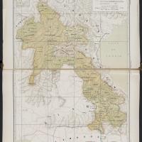
Laos
Classe
Lieu
Nom
fre
Laos
Autre(s) forme(s) du nom
fre
Protectorat français du Laos
fre
Lao (République populaire démocratique)
Identique à
Latitude
18
Longitude
105
Coordonnées
N 18°00′00″ E 105°00′00″
Lieu compris dans ce lieu
Est une partie de
Source de l'image
Identifiant pérenne
Source(s) utilisée(s)
Reprendre la forme d'autorité
fre
Laos
Description
Le protectorat français du Laos était le gouvernement fédérant les différents États peuplés par le peuple Lao, sur le territoire de l'ancien royaume du Lan Xang et de l'actuel Laos. Composante de l'Indochine française, le protectorat du Laos donne naissance en 1946 à l'État centralisé du Royaume du Laos, qui accède ensuite au statut d'État associé de l'Union française. La France transfère ensuite progressivement sa souveraineté au Laos avant de reconnaître l'indépendance pleine et entière du pays à la fin de la guerre d'Indochine.
Collections
Ressources liées
Filtrer par propriété
| Titre | Libellé alternatif | Classe |
|---|---|---|
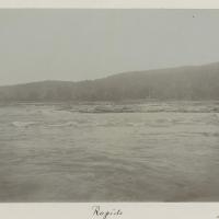 Rapids Rapids |
Couverture spatiale | Image fixe |
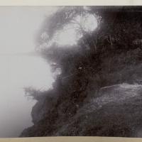
 [Sans titre] [Sans titre] |
Couverture spatiale | Image fixe |
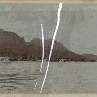
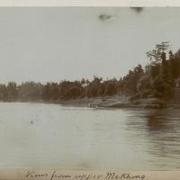 Views from upper Me Khong Views from upper Me Khong |
Couverture spatiale | Image fixe |
 [Sans titre] [Sans titre] |
Couverture spatiale | Image fixe |
 [Sans titre] [Sans titre] |
Couverture spatiale | Image fixe |
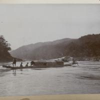
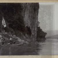
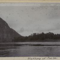 Me Khong at Pak Uh Me Khong at Pak Uh |
Couverture spatiale | Image fixe |
 [Sans titre] [Sans titre] |
Couverture spatiale | Image fixe |
 [Sans titre] [Sans titre] |
Couverture spatiale | Image fixe |
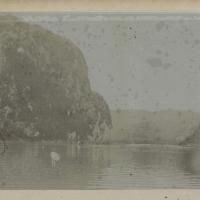
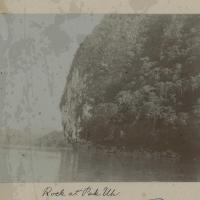 Rock at Pak Uh Rock at Pak Uh |
Couverture spatiale | Image fixe |
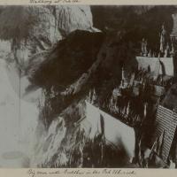 Big cave with Buddhas in the Pak Uh rock Big cave with Buddhas in the Pak Uh rock |
Couverture spatiale | Image fixe |
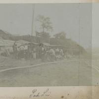 Pak Lai Pak Lai |
Couverture spatiale | Image fixe |
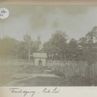 French agency, Pak Lai French agency, Pak Lai |
Couverture spatiale | Image fixe |
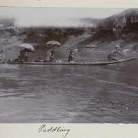 Paddling Paddling |
Couverture spatiale | Image fixe |
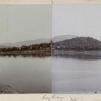
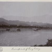 Boat rafts south of Luang Prabang Boat rafts south of Luang Prabang |
Couverture spatiale | Image fixe |
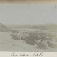 Pack bullocks ; Pak Lai Pack bullocks ; Pak Lai |
Couverture spatiale | Image fixe |
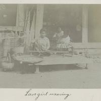 Laos girl weaving Laos girl weaving |
Couverture spatiale | Image fixe |
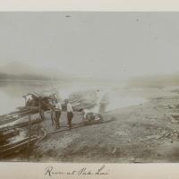 River at Pak Lai River at Pak Lai |
Couverture spatiale | Image fixe |
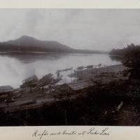 Rafts and boats at Pak Lai Rafts and boats at Pak Lai |
Couverture spatiale | Image fixe |
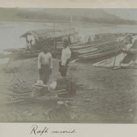 Raft moored Raft moored |
Couverture spatiale | Image fixe |
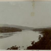
 Views of the river Views of the river |
Couverture spatiale | Image fixe |
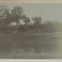 Views of the river Views of the river |
Couverture spatiale | Image fixe |
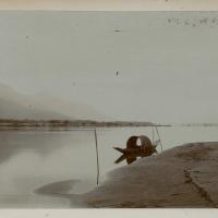
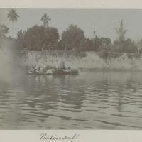 Native raft Native raft |
Couverture spatiale | Image fixe |
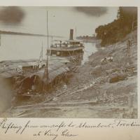 Shifting from our rafts to steamboat "Trentinian" at Vieng Chan Shifting from our rafts to steamboat "Trentinian" at Vieng Chan |
Couverture spatiale | Image fixe |
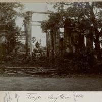
 Temple, Vieng Chan Temple, Vieng Chan |
Couverture spatiale | Image fixe |
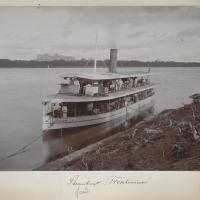 Steamboat "Trentinian" Steamboat "Trentinian" |
Couverture spatiale | Image fixe |
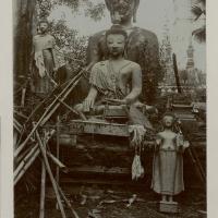
 Temple ; Vieng Chan Temple ; Vieng Chan |
Couverture spatiale | Image fixe |
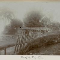 Bridge ; Vieng Chan Bridge ; Vieng Chan |
Couverture spatiale | Image fixe |
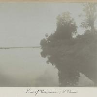 View of the river ; V[ieng]. Chan View of the river ; V[ieng]. Chan |
Couverture spatiale | Image fixe |
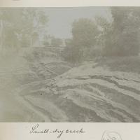 Small, dry creek Small, dry creek |
Couverture spatiale | Image fixe |
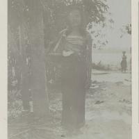 Laos girl ; V[ieng]. Chan Laos girl ; V[ieng]. Chan |
Couverture spatiale | Image fixe |
 Landing places south of Vieng Chan Landing places south of Vieng Chan |
Couverture spatiale | Image fixe |
 Landing places south of Vieng Chan Landing places south of Vieng Chan |
Couverture spatiale | Image fixe |
 [Sans titre] [Sans titre] |
Couverture spatiale | Image fixe |
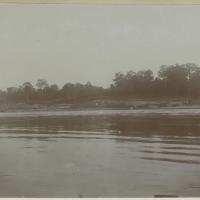
 Views from the river and landing places south of Vieng Chan Views from the river and landing places south of Vieng Chan |
Couverture spatiale | Image fixe |
 Views from the river and landing places south of Vieng Chan Views from the river and landing places south of Vieng Chan |
Couverture spatiale | Image fixe |
 [Sans titre] [Sans titre] |
Couverture spatiale | Image fixe |
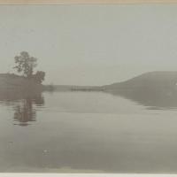 Views of the river Views of the river |
Couverture spatiale | Image fixe |
 Views of the river Views of the river |
Couverture spatiale | Image fixe |
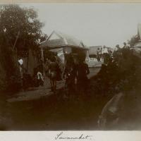 Sawanaket Sawanaket |
Couverture spatiale | Image fixe |
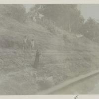
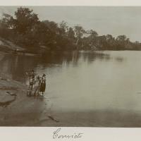 Convicts Convicts |
Couverture spatiale | Image fixe |
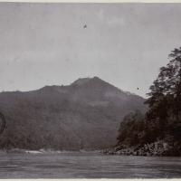 Mountain clearings between Thieng Khong and Luang Prabang Mountain clearings between Thieng Khong and Luang Prabang |
Couverture spatiale | Image fixe |
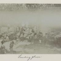 Landing place Landing place |
Couverture spatiale | Image fixe |
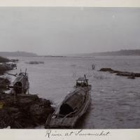 River at Sawanaket River at Sawanaket |
Couverture spatiale | Image fixe |
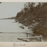 River bank River bank |
Couverture spatiale | Image fixe |
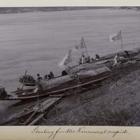 Starting for the Kemmerat rapids Starting for the Kemmerat rapids |
Couverture spatiale | Image fixe |
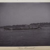 From Kemmerat From Kemmerat |
Couverture spatiale | Image fixe |
 [Sans titre] [Sans titre] |
Couverture spatiale | Image fixe |
 [Sans titre] [Sans titre] |
Couverture spatiale | Image fixe |
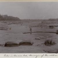 Holes in the river bed ; the origin of the eddies Holes in the river bed ; the origin of the eddies |
Couverture spatiale | Image fixe |
 [Sans titre] [Sans titre] |
Couverture spatiale | Image fixe |